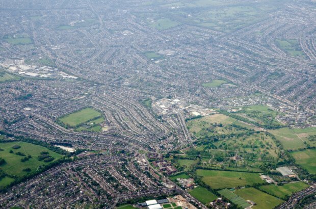
Sutton Area Guide [Updated with 2024 Data]
The borough of Sutton is located in southwest London and…
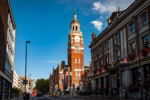
Croydon Area Guide [Updated with 2024 Data]
Croydon is a borough located in South London, approximately 10…

City of Westminster Area Guide [Updated with 2024 Data]
The City of Westminster is an inner London borough located…
Merton Area Guide [Updated with 2024 Data]
Located in south-west London, Merton is a borough that is…

Richmond upon Thames Area Guide [Updated with 2024 Data]
Richmond upon Thames is a suburban area located in southwest…

Hammersmith and Fulham Area Guide [Updated with 2024 Data]
Hammersmith and Fulham is a borough in West London, bordered…

Greenwich Area Guide [Updated with 2024 Data]
Greenwich is a borough located in South East London, England,…
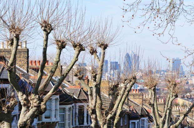
Lewisham Area Guide [Updated with 2024 Data]
The London Borough of Lewisham is situated in the southeast…

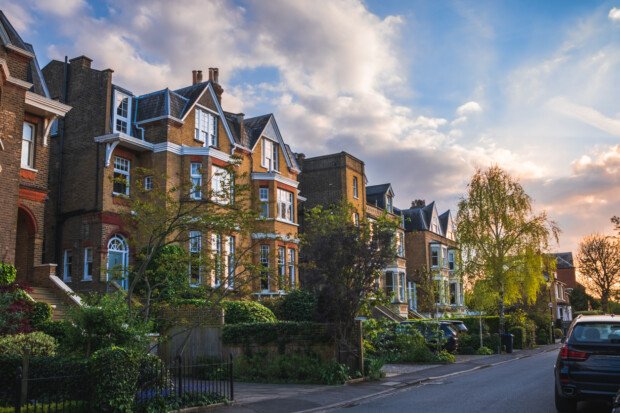
Wandsworth Area Guide [Updated with 2024 Data]
The London borough of Wandsworth is located in south-west London…

Hillingdon Area Guide [Updated with 2024 Data]
The London Borough of Hillingdon is located in the most…

Havering Area Guide [Updated with 2024 Data]
Havering is London’s most easterly borough, situated next to the…

Bromley Area Guide [Updated with 2024 Data]
The London Borough of Bromley, located in the south-east of…